Traffic perception from sensor to screen.
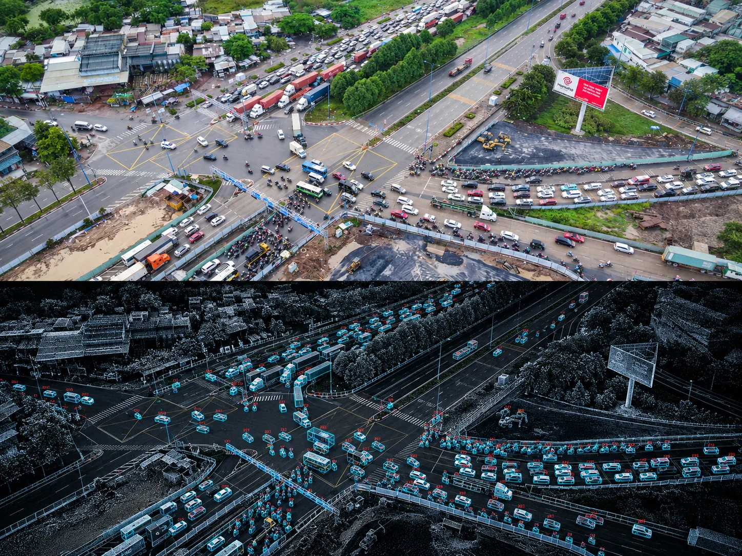
Connect cameras, LiDAR and edge processing to detect, track and review road activity.
TeraFlow Perception TeraFlow Perception
Combine camera and LiDAR data into detections, tracks and traffic context for operators and research teams.
Traffic perception you can inspect
Camera and LiDAR fusion
Tracked traffic state
Detection, classification, tracking and review
2D and 3D traffic views
Perception workflow
- Observe road users, movement zones and traffic events
- Combine selected camera and LiDAR observations
- Expose detections and tracks for operator review
- Record sensor and model boundaries per deployment
- Configure privacy zones and retention at the edge
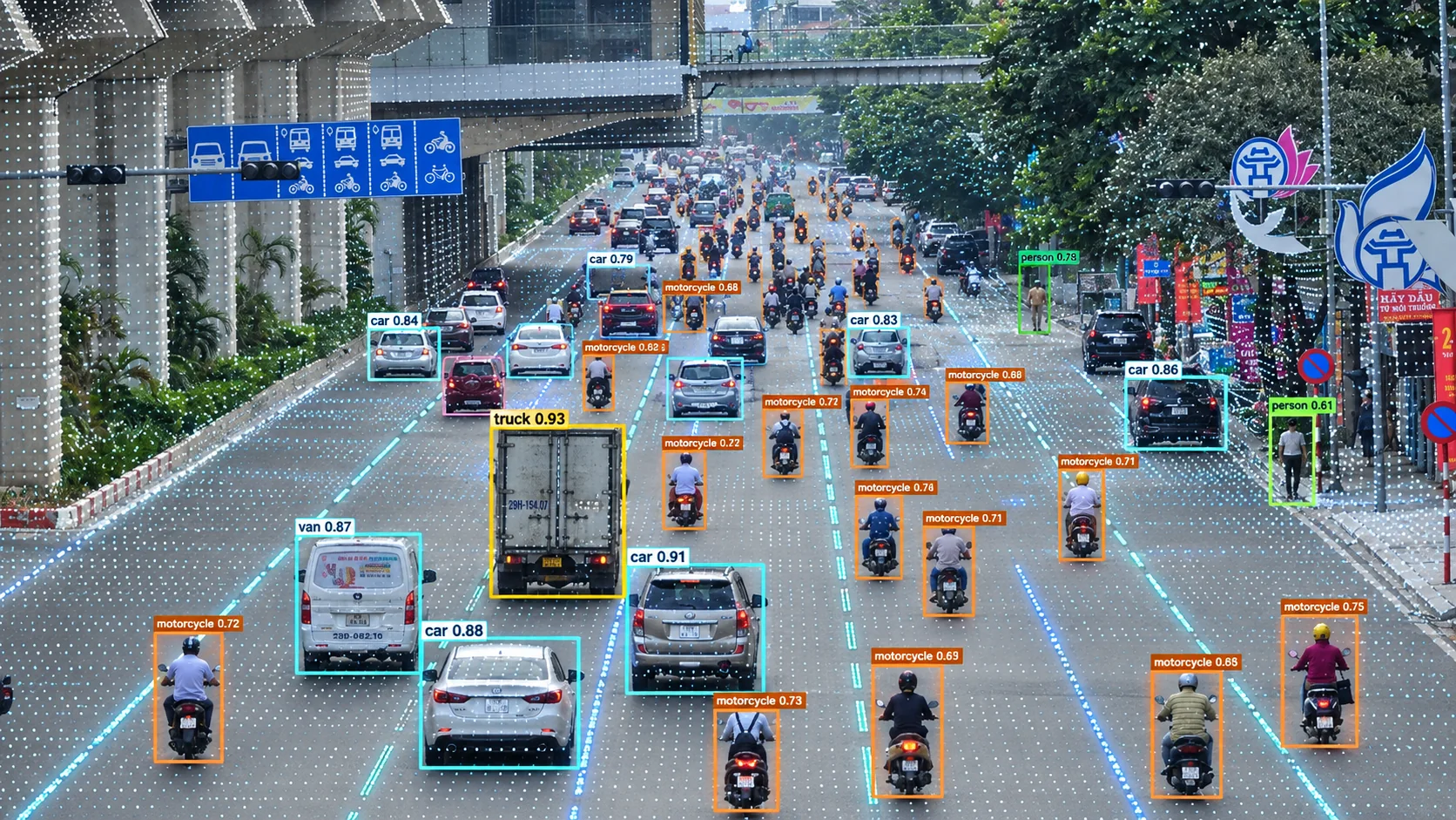
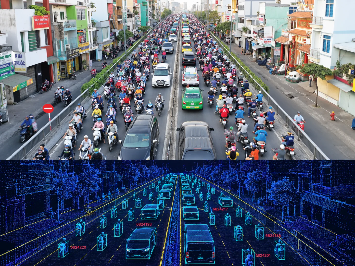
Align camera and LiDAR observations, then carry tracked road users into the traffic digital twin.
01Configure and review selected perception sources through one operational interface.
02Review current and recorded system outputs through a browser interface when included in scope.
03Keep spatial measurements and model uncertainty visible to reviewers.
Software scope
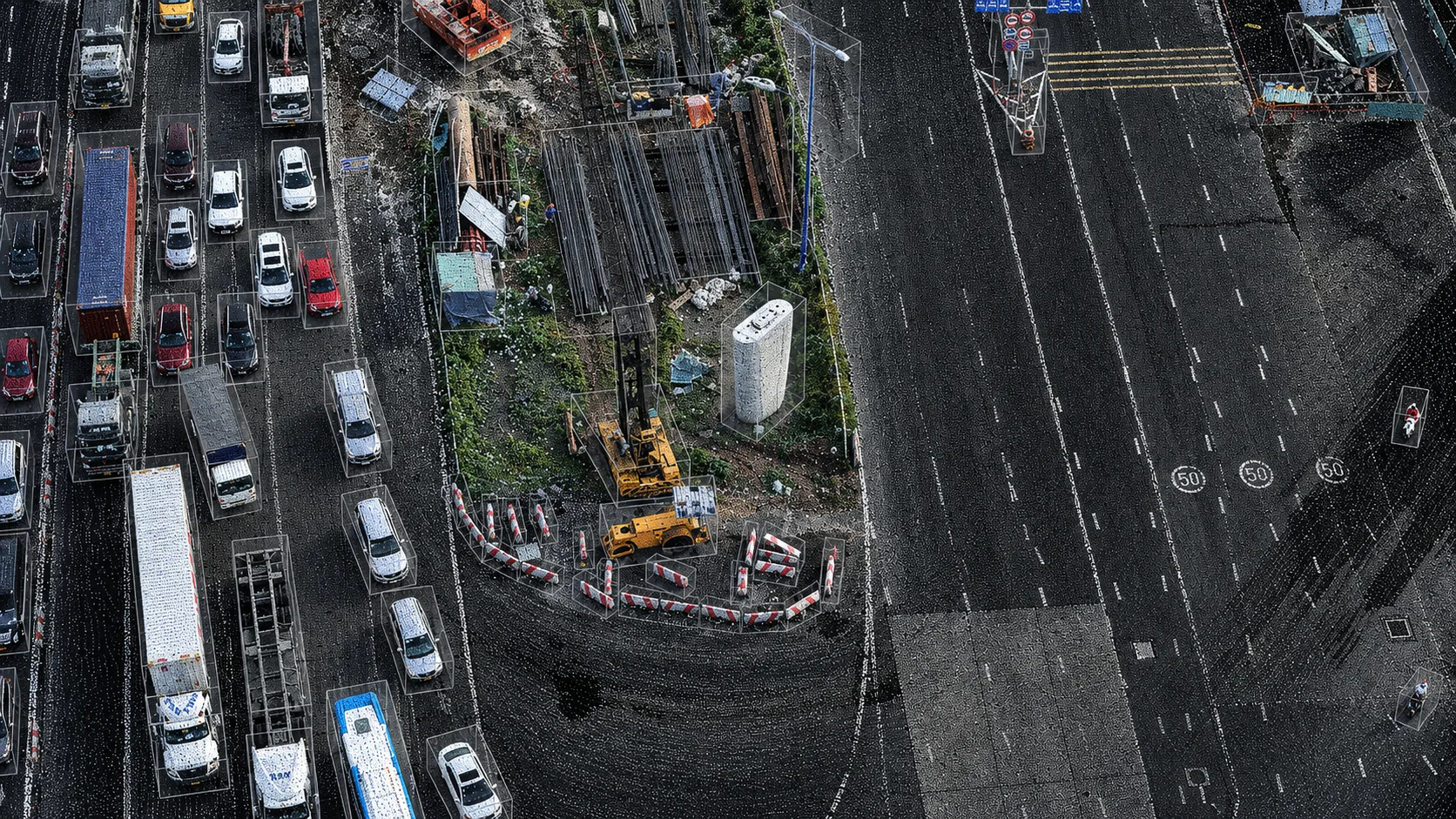
The software covers data input, sensor alignment, fusion, tracking, event rules and operator review. Hardware and installation are separate.