Perception under real road conditions
Occlusion, sensor disagreement, calibration drift and changing scene geometry.
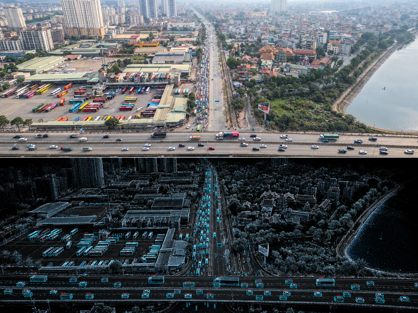
Navin Research × TeraFlow
Navin Research studies perception, tracking, traffic models and decision support under stated conditions.
Research map
Align selected camera, LiDAR and road context in time and space.
Produce spatial detections with confidence and provenance.
Associate detections into trajectories while retaining uncertainty.
Compose tracks, zones, events and infrastructure state.
Evaluate bounded options without conflating recommendation and action.
Place selected processing near the road and state what remains central.
Expose reviewed outputs through project-defined interfaces.
Active directions
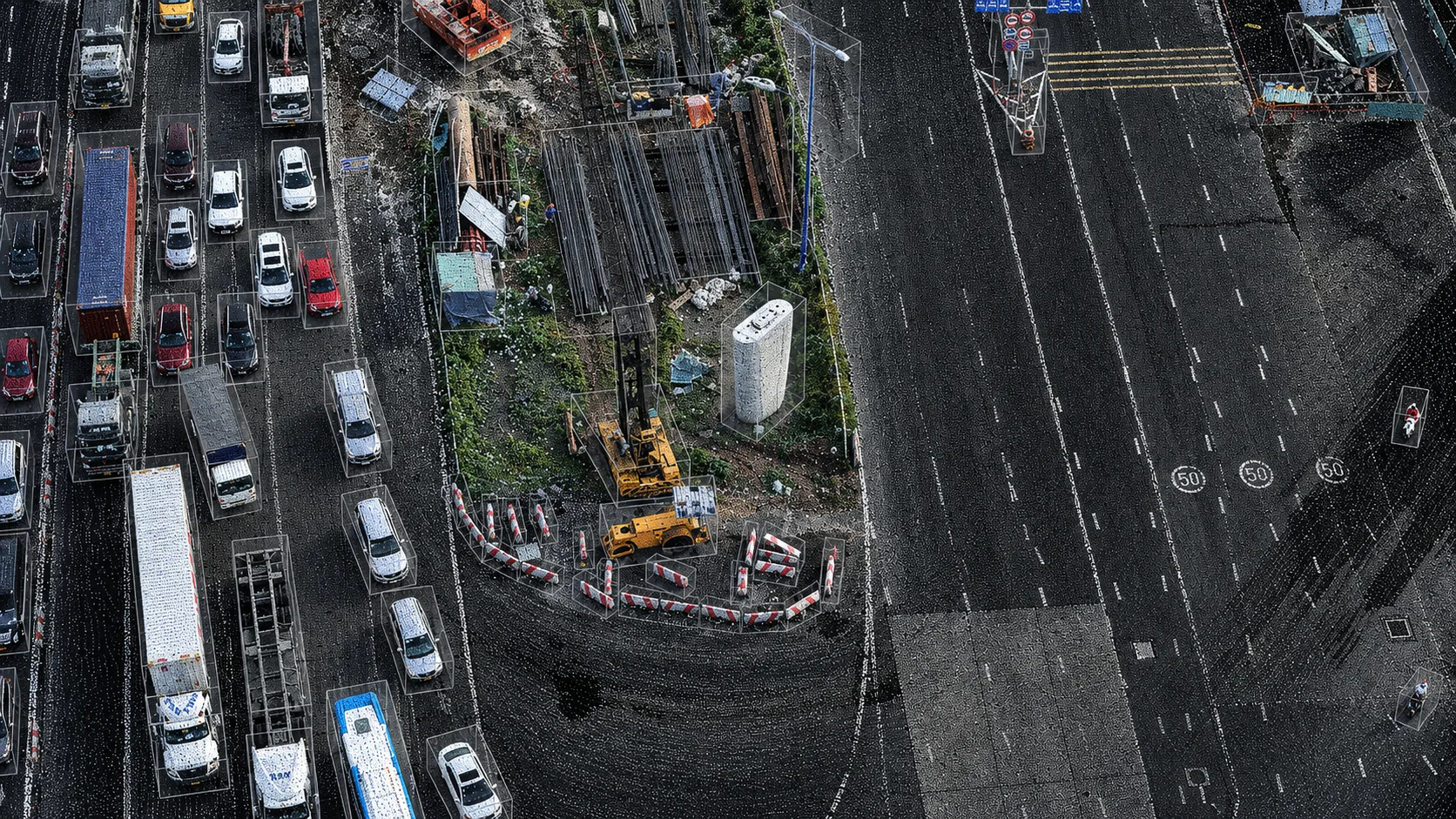
Occlusion, sensor disagreement, calibration drift and changing scene geometry.
Stable trajectories, event semantics and digital twins that operators can inspect.
Recommendations that preserve human approval and external-system ownership.
Evidence boundary
Website diagrams and overlays are explanatory or simulated unless marked otherwise. Deployment scope and performance are confirmed only through project evidence.
Next step
Research starts with the required decision, available data and a test that can succeed or fail.
Discuss research